A Unique Precision


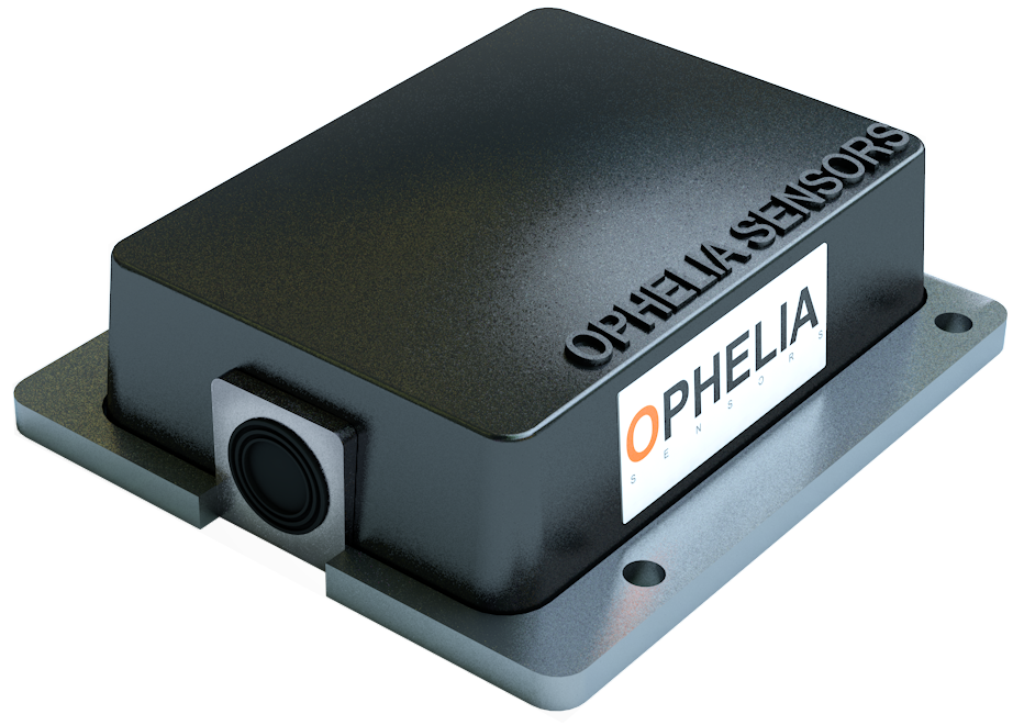
Thanks to its unrivaled algorithm, the Geocube system achieves continuous high-level displacement precision, even under complex operating conditions.


Typical Positioning precision


Horizontal

2 mm (+2 ppm)

Vertical

4 mm (+2 ppm)


Horizontal 24h average

1 mm (+1 ppm)

Vertical 24h average

2 mm (+1 ppm)


A Rugged System


Designed to be installed over long periods of time under challenging operating conditions​. A discreet design helps limit possible malicious acts.


Ingress protection rating

IP69

Shock resistance

IK7

Operating temperature range

-40°C to +65°C

A Scalable Solution


Thanks to its meshed network, Geocube system can scale up to thousands of monitored points without any limitations or bottleneck.

A State Of The Art Platform


Geo3 is the platform that will fit all your needs. It allows you to control installed devices, view graphs, set notifications, print reports and export data. Its user-friendly design is simple and intuitive so that you can find the information you need in a couple of clicks. Give access to your data to relevant stakeholders so that informed decisions can be taken on the spot.

User Interface

Visualise

  • Graphs for :
    • Precise position
    • Tilt
  • Displacement vectors
  • 8 projections options
  • Comparison of different Geocube displacements

Get Notified

  • Set parameters for total displacement treshold, movement acceleration and tilt threshold
  • Choose your notification channel between email and SMS.

Export

  • Select the required data within a time interval and download a file to your computer
  • Define FTP/HTTPS destination server, export frequency and projection type for automatic export

Inspect

  • Map view of all positioned Geocubes on your project
  • Informations on Geocube status

How does our system work?

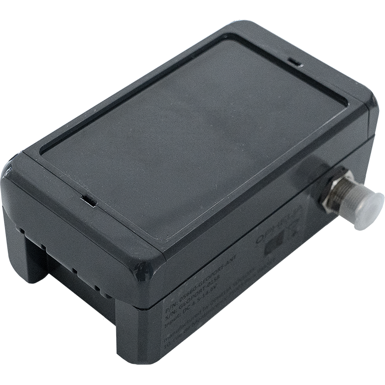
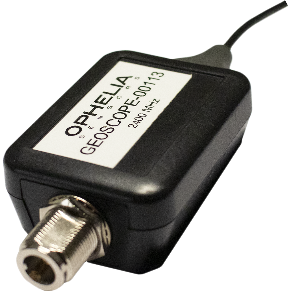
Geocubes are installed on the monitored points. Fixed Geocube is placed outside of the monitored area.

GNSS information is collected through Geocubes

Information is transferred to the Geoport

The Geoport sends the data through a 3G/LTE link to a server which computes precise positions and inclinometric data

Full data is available to end users through a web interface and an API.

Components of the system

Geocube

Geoport

Geoscope

GNSS receptor and IMU with radio communication
Radio to 3G / LTE communication gateway
Deployment monitoring device
Installed on positions to be monitored or as fixed reference
Installed in a location that allows radio connection with Geocubes
Mobile device used during the installation phase, connected to a field laptop/tablet
Powering
5V - 14.6V DC
5V - 18V DC
5V USB
Consumption
200 mW
1 000 mW
-
Size
118x106x36 mm
140x80x60 mm
70x50x30 mm
Requirements
Requires radio antenna
Requires SIM Card (3G/LTE) and radio antenna
Requires radio antenna
Powering
Powering
Powering
Consumption
Consumption
Consumption
Size
Size
Size
Requirements
Requirements
Requirements

Any Question?
Ask our team

Email us at
or fill in a contact form. We normally reply within one working day. However, in most cases, you will hear from us in a few hours.

Feel free to call us: